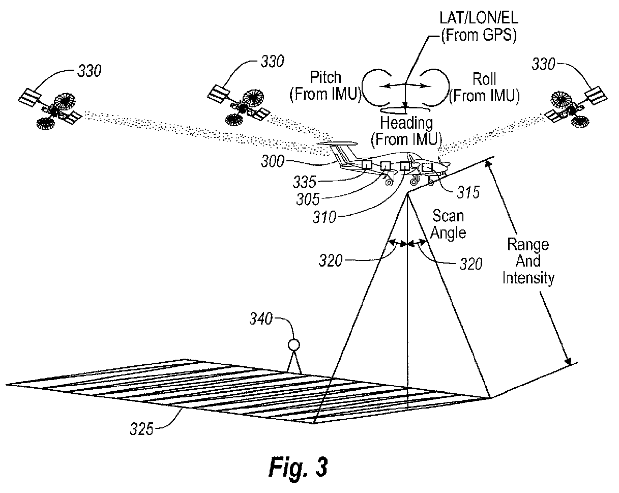
(57) An apparatus for measuring distance to a surface is disclosed. The apparatus transmits
at least one subsequent pulse of light prior to receiving a reflection of a previously
sent pulse of light. Thus, multiple pulses of light are inflight at a given time.
The embodiments are applicable to terrain mapping, bathymetry, seismology, detecting
faults, biomass measurement, wind speed measurement, temperature calculation, traffic
speed measurement, military target identification, surface to air rangefinding, high
definition survey, close range photogrammetry, atmospheric composition, meteorology,
distance measurement, as well as many other applications. Examples of such apparatuses
include laser ranging systems, such as light detection and ranging (LIDAR) systems,
and laser scanners. Data received from the apparatus by a data processing unit can
be used to create a data model, such as a point cloud, digital surface model or digital
terrain model describing the surface, terrain, and/or objects.
|
|
