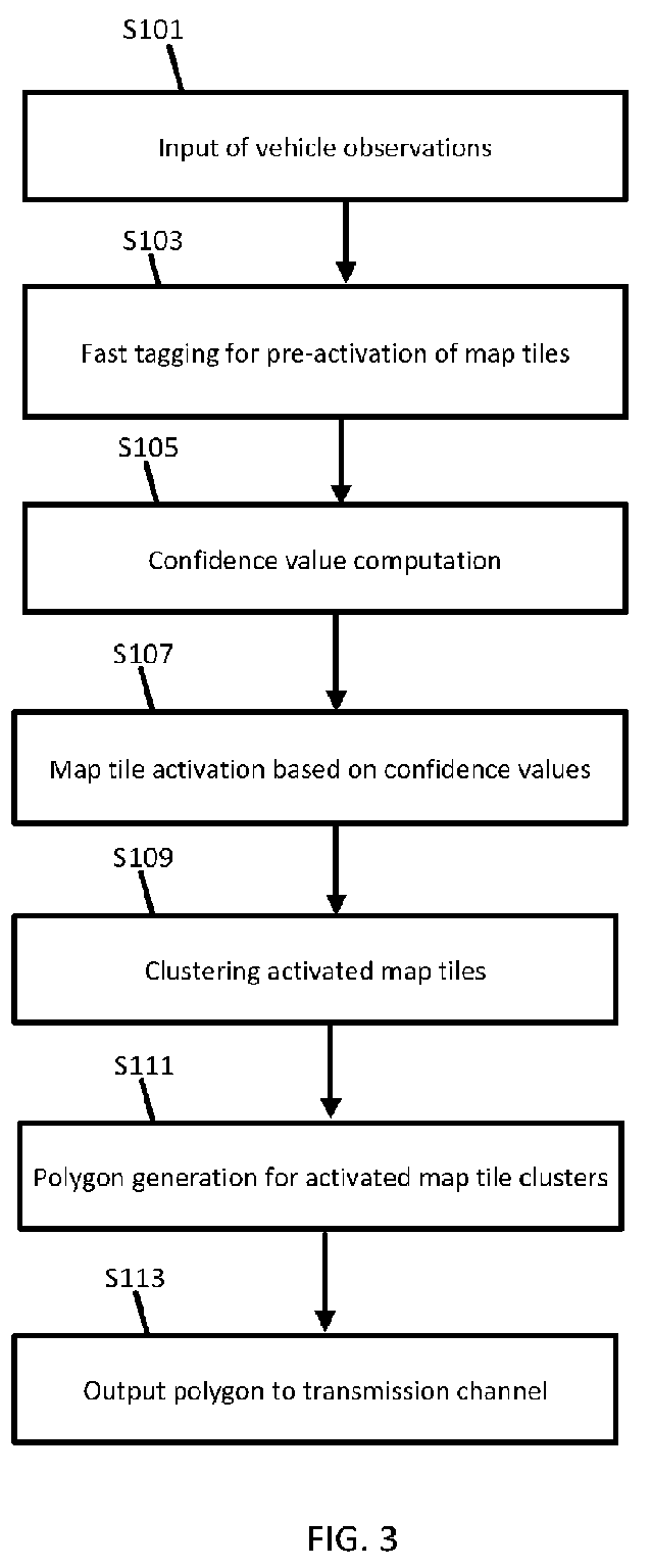
(57) An apparatus is configured to perform a method for generating warning polygons for
weather events in a geographic region. The method includes receiving measurement data
from one or more sensors, identifying at least one location from the measurement data,
identifying a map tile within a predetermined distance to the at least one location,
defining an index including the map tile in response to identification that the map
tile is within the predetermined distance to the at least one location, calculating
a confidence level for the map tile accessed from the index, comparing the confidence
level for the map tile to a threshold confidence level, clustering the map tile in
a map tile cluster in response to the confidence level exceeding the threshold level,
and calculating a polygon based on the map tile cluster such that the polygon intersects
the geographic region.
|
|
